
 Izdanje Srbija
 Serbische Ausgabe
 Izdanje BiH
 Izdanje Crna Gora


 News
News


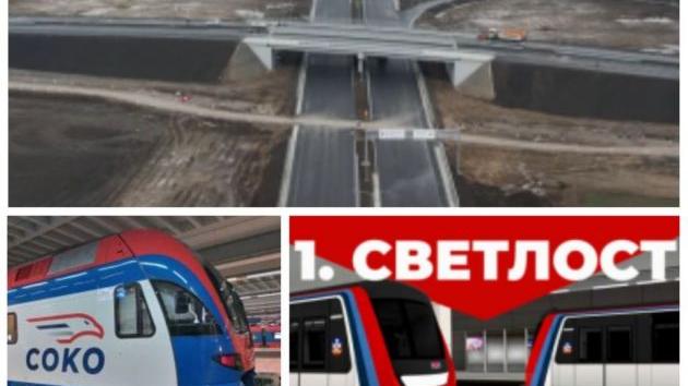
Ostruznica-Obrenovac Fast Route to Be Nearly 15 km Long – Route Over Landslide
 Tuesday, 12.07.2022.
12:42
Tuesday, 12.07.2022.
12:42

It says that the fast route will be around 14.8 km long and be designed for a maximum speed of 100 km/h.
The drafting authority of the Spatial Plan is the Institute for Architecture and Urban Planning of Serbia, in cooperation with the drafting authority of the preliminary project of the fast route, the Highway Institute (Institut za puteve ad Beograd).
The spatial plan encompasses:
1) the corridor of the planned fast route, from Ostruznica to the connection with the IA-grade state road E-763 with a total length of around 14.8 km and a width of 50 m to 300 m, which encompasses the route with the protective belts of the fast route;
2) a space where the regulation of the Sava River and the amelioration of the landslide, with an orientation length of 3.5 km and a width of up to 1,800 m;
3) the existing and planned corridors of other main infrastructural systems with the route and the protective belt (direct and wider) of the infrastructural systems covered by the plan area (railway, gas pipelines, power lines, optical cables and so on, which intersect with the fast route).
The conception of the planning, use and development of the space is defined in the way that secures the construction and exploitation of the corridor of the fast route as part of the IB-grade state road 26 and the connection of the central Belgrade city area and the city municipality of Obrenovac, that is, which will connect IA-grade state road E-763 (Belgrade-South Adriatic highway, Belgrade-Pozega section) and the south bypass route of the city of Belgrade (part of Corridor X), providing a better positioning and the possibility of the spatial integration of the city of Belgrade with a wider southwestern, environment, as pointed out in the Spatial Plan.
It proposes the scope of the spatial plan in parts of the territory of the city of Belgrade, the city municipalities of Cukarica, Obrenovac and Surcin, through which the corridor of the planned fast route passes, namely:
– Cukarica – the cadaster municipalities of Veliki Makis, Ostruznica and Umka;
– Obrenovac – the cadaster municipalities of Mala Mostanica and Baric;
– Surcin – the cadaster municipality of Boljevci.
The construction of the fast route will directly contribute to a faster development of the encompassed part of the administrative area of the city of Belgrade and the city municipalities which are directly connected to this corridor, primarily their traffic and economic integration with the overall space of Serbia, it is pointed out in the spatial plan and added that it will also contribute to the economic development and integration of other parts of central Serbia which are not in the direct environment of the infrastructural corridor, primarily parts of Macva, Kolubara, Srem and other administrative districts.
The area of the spatial plan spreads parallel with the Sava River and connects the construction area of the city of Belgrade with settlements along the Sava and the city municipality of Obrenovac. Along with other measures and programs within the policy of development of road transport, their traffic integration in the space of Serbia is considered one of the main preconditions of a faster economic and social development. The condition for realizing that goal, that is, for achieving bigger positive effects of the influence of the infrastructural corridor on the wider environment, is the construction of said fast route section, it is said.
The planned route of the state road is split into three sections. The first section begins at the existing interchange “Ostruznica” on the south bypass route around Belgrade (part of Corridor X), stretches along the route of the existing road with a planned expansion on its right-hand side, all the way to the intersection with the so-called “old Ostruznica road”. The second section begins from the planned de-leveled crossing and is a newly planned route which goas along the right coast of the Sava River in the territory of the Umka settlement (with substantial planned works on the regulation of the Sava River, the construction of an embankment and the stabilization of the landslide) to the Baric settlement, where the planned route diverges from the coastline. The third section begins at the Baric settlement and is a newly planned route which goes along the existing road through the industrial zone of Baric, all the way to the planned de-levelled intersection in the zone of the interchange “Obrenovac”.
In the area of the spatial plan, for the entire fast route, the road route is planned and designed for a speed of 100 km/h, as said in the Spatial Plan.
S. T.
Naš izbor
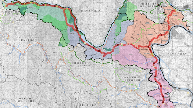
Plan for Djerdap Corridor Completed, Here’s the Route – Alternative Hill Road Near Donji Milanovac, New Route to Brza Palanka and Kladovo Construction


Project for Vranjska Banja Interchange Completed, New Location Planned – Three Bridges to Be Built, Green Permit Requested Construction, Transport, Tourism, Sports, Culture, Healthcare
Most Important News
06.04.2024. | Agriculture
Preconditions for Placement of Fresh Blueberries and Dried Plums in Chinese Market Secured

16.04.2024. | News
Jovan Ciric, Leasing Director Retail MPC Properties – MPC Echo symbolizes our desire for good ideas and innovative endeavors to spread freely and bring about positive changes

16.04.2024. | News
10.04.2024. | Finance, IT, Telecommunications, Tourism, Sports, Culture
Creative Industry – What This Serbian Economy Sector Worth EUR 2 Billion Encompasses
10.04.2024. | Finance, IT, Telecommunications, Tourism, Sports, Culture
22.04.2024. | Transport
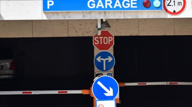
City of Belgrade selling garages – Initial price EUR 7,000
22.04.2024. | Transport
16.04.2024. | News
Economy Fair in Mostar opens – 26 companies from Serbia exhibiting
16.04.2024. | News
22.04.2024. | News
German retail chain Mix Markt to open first stores in Serbia in three locations on April 29

22.04.2024. | News