
 Izdanje Srbija
 Serbische Ausgabe
 Izdanje BiH
 Izdanje Crna Gora


 News
News


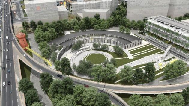
MapSoft Belgrade to prepare topographic base for reconstruction of Resnik-Velika Plana railway
 Tuesday, 16.07.2019.
15:00
Tuesday, 16.07.2019.
15:00

The project was ordered by China Road and Bridge Corporation, whose engineers will be able to start preparing the engineering design within 15 working days of the completion of the aerial photography and LiDAR scanning.
The collected material, the aerial photographs with a resolution of 5 cm/pix, are of high accuracy and quality and are an excellent basis for the collection of spatial data through photogrammetry.
Let us remind that, when it comes to the preparation of topographic bases for the needs of designing transportation infrastructure (roads and railways), a simultaneous aerial photography and LiDAR scanning is by far the fastest and best method.
Most Important News
06.04.2024. | Agriculture
Preconditions for Placement of Fresh Blueberries and Dried Plums in Chinese Market Secured

16.04.2024. | News
Jovan Ciric, Leasing Director Retail MPC Properties – MPC Echo symbolizes our desire for good ideas and innovative endeavors to spread freely and bring about positive changes

16.04.2024. | News
10.04.2024. | Finance, IT, Telecommunications, Tourism, Sports, Culture
Creative Industry – What This Serbian Economy Sector Worth EUR 2 Billion Encompasses
10.04.2024. | Finance, IT, Telecommunications, Tourism, Sports, Culture
18.04.2024. | Industry, Finance
Here come the new hunters for Serbian gold – Australian Strickland Metals buys mining project on mountain Rogozna

18.04.2024. | Industry, Finance
16.04.2024. | News
Economy Fair in Mostar opens – 26 companies from Serbia exhibiting
16.04.2024. | News
18.04.2024. | Transport
Jovanovic: Purchase of Siemens trams produced in Kragujevac for GSP Beograd should be considered
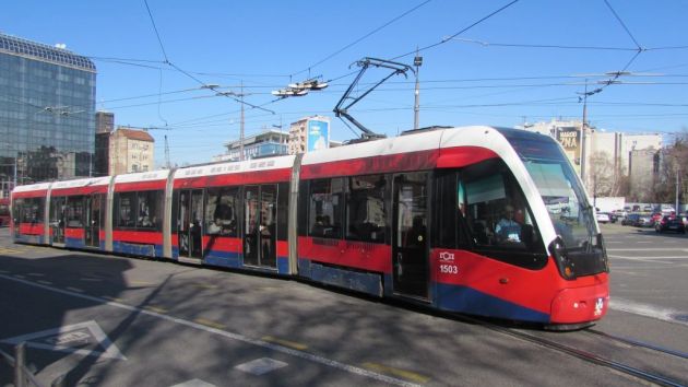
18.04.2024. | Transport